By: Yeo Yu Teng
Navigating New Horizons
In the heart of Pelalawan in Riau Province, a city-dweller ventured into the green expanse. Meet Teguh, a dedicated Survey Officer at one of Musim Mas’ plantations. He shares insights into his role as a Geographic Information Systems (GIS) expert and unravels the extraordinary journey from the urban jungle to the vibrant greenery that now defines his workplace.
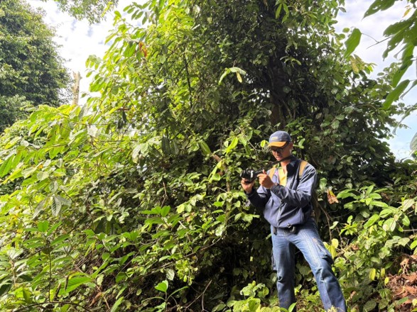
Teguh walking among the greenery.
Unveiling the Unseen
Teguh’s main role involves a harmonious blend of technology and hands-on fieldwork. He and his team monitor, map, and analyze geographic data within the plantation and beyond. His team plays a crucial role in Musim Mas’ comprehensive strategy to proactively combat the persistent threat of fires in both oil palm plantations and conservation zones.
The heightened risk of forest fires, particularly during the dry season from August to October, underscores the urgency of Teguh’s daily tasks. Each morning, he and his team liaise with the Sustainability team, diligently checking for any detected hotspots within the plantation or its neighboring areas.
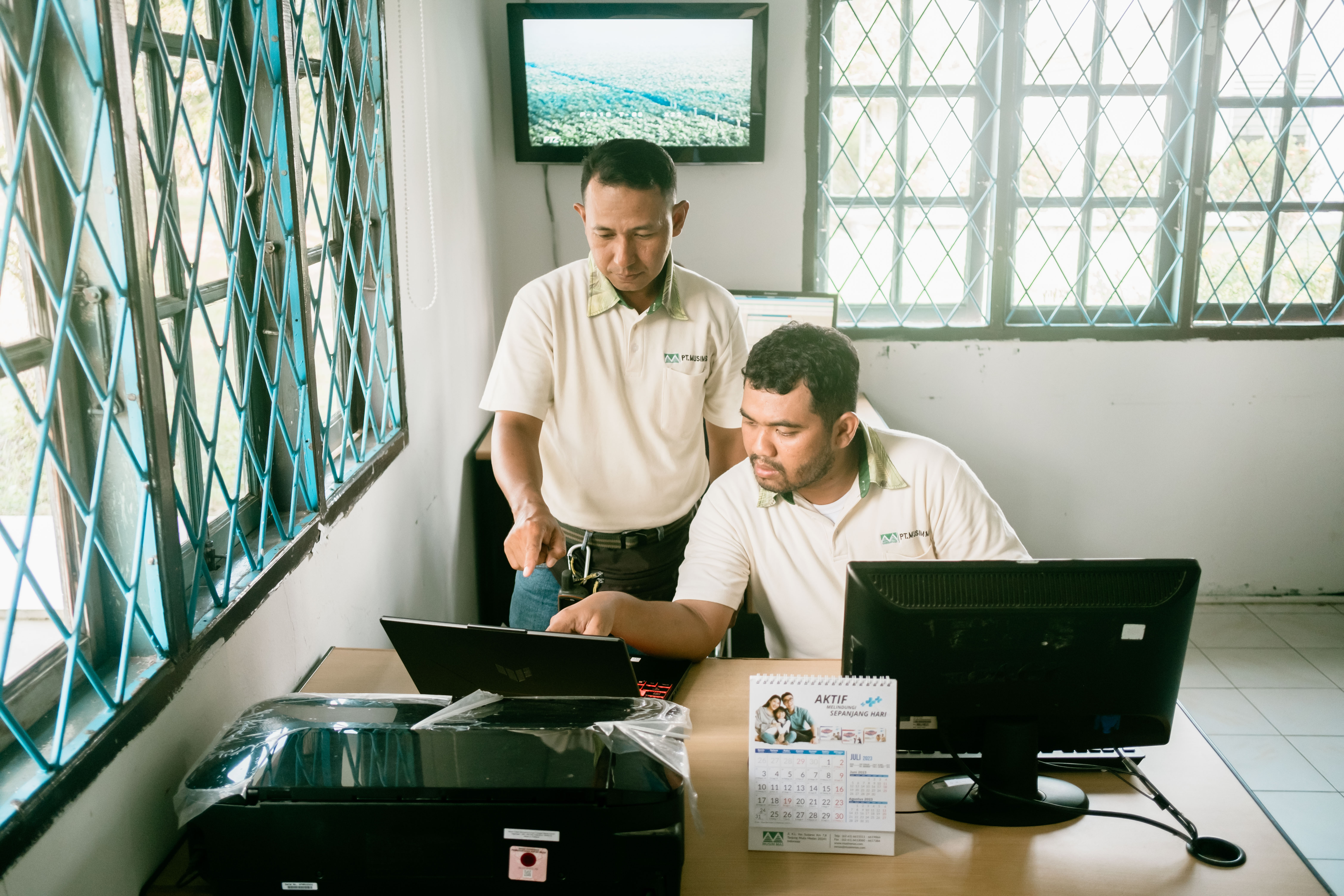 Working closely with the Sustainability team.
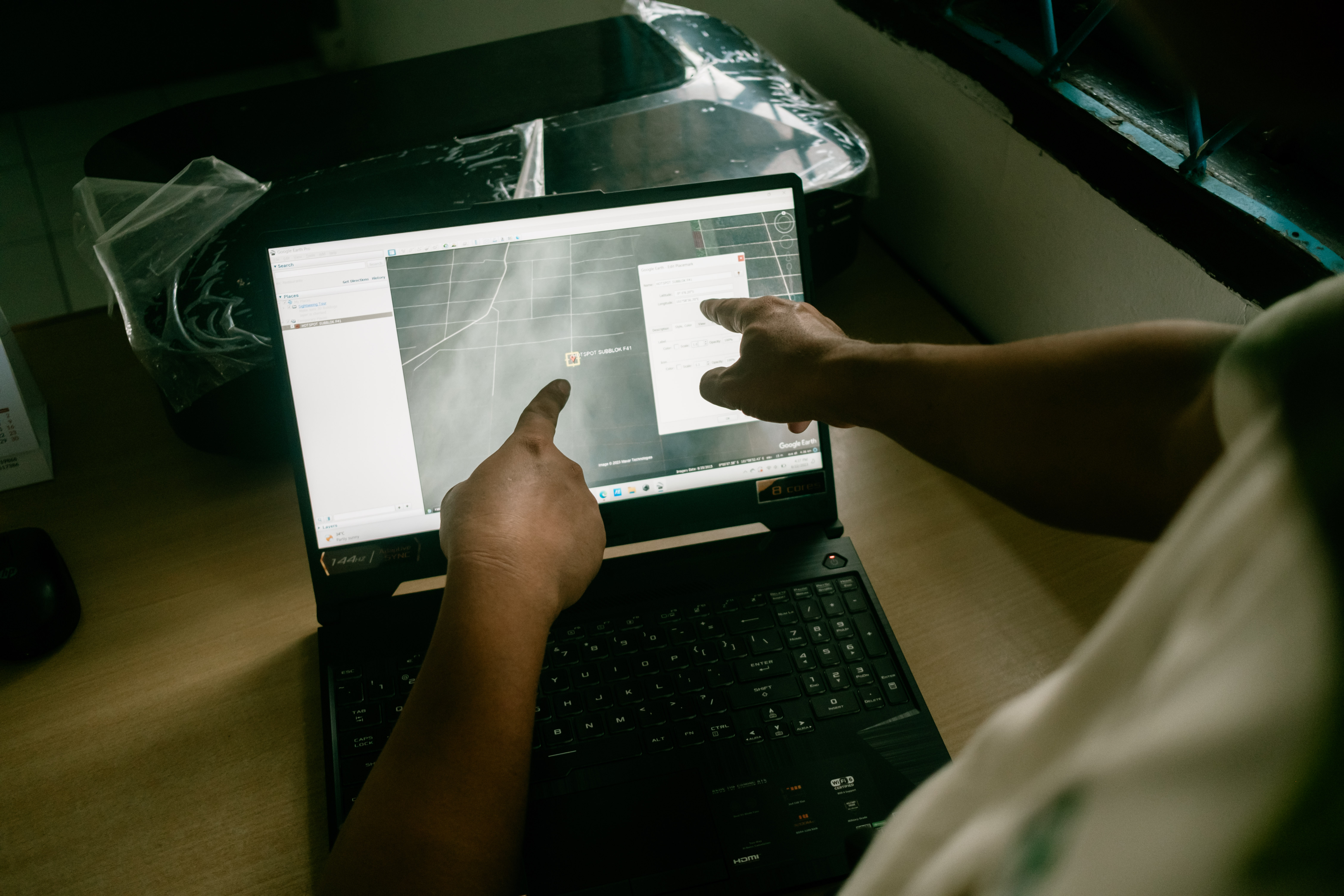 Analyzing satellite data.
When potential hotspots are detected, Teguh and his team spring into action as hotspots do not necessarily correspond to a land fire – they could be pockets of hot air. This is where on-site investigations are needed. Teguh and his team hop onto their motorcycles, navigate using GPS devices, and journey into the depths to verify satellite data and assess the true magnitude of any identified hotspots.
 Traveling to the location of the hotspot or its vicinity.
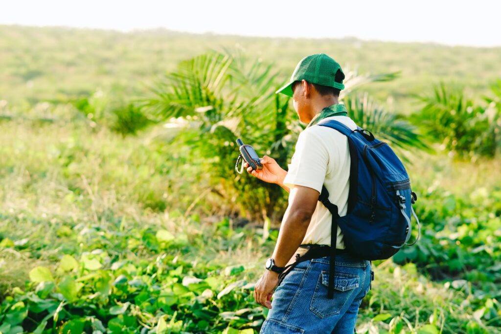
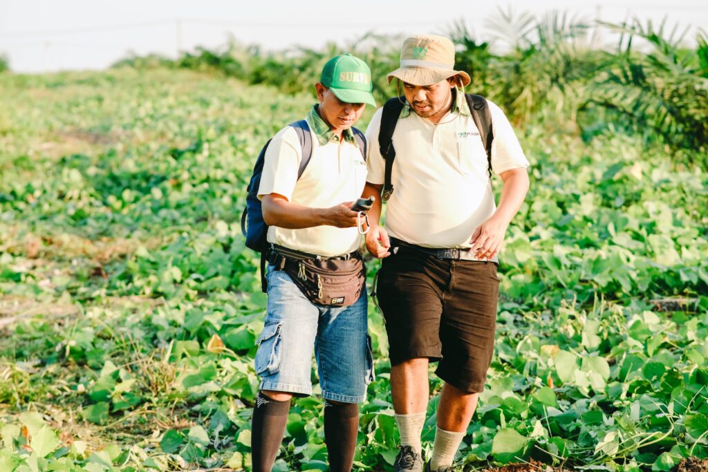 Using a GPS device to navigate their way.
Yet, these terrains are no walk in the park — thick vegetation, bumpy grounds, and remote locations make it challenging for the team to access potential hotspots. Here is where drones change the game. Quadcopters and fixed-wing drones become the eyes of the sky, providing a quick, safe, and effective means of observation in tricky terrains. They unveil the mysteries hidden beneath the thick canopies or far-away lands and assist in verifying the accuracy of satellite data.
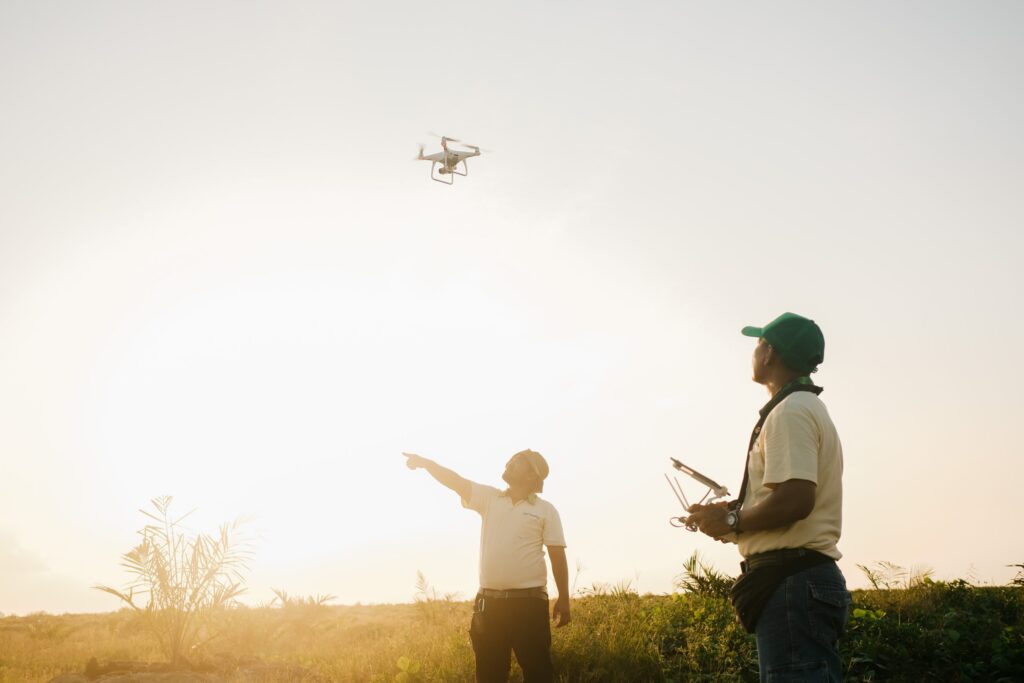
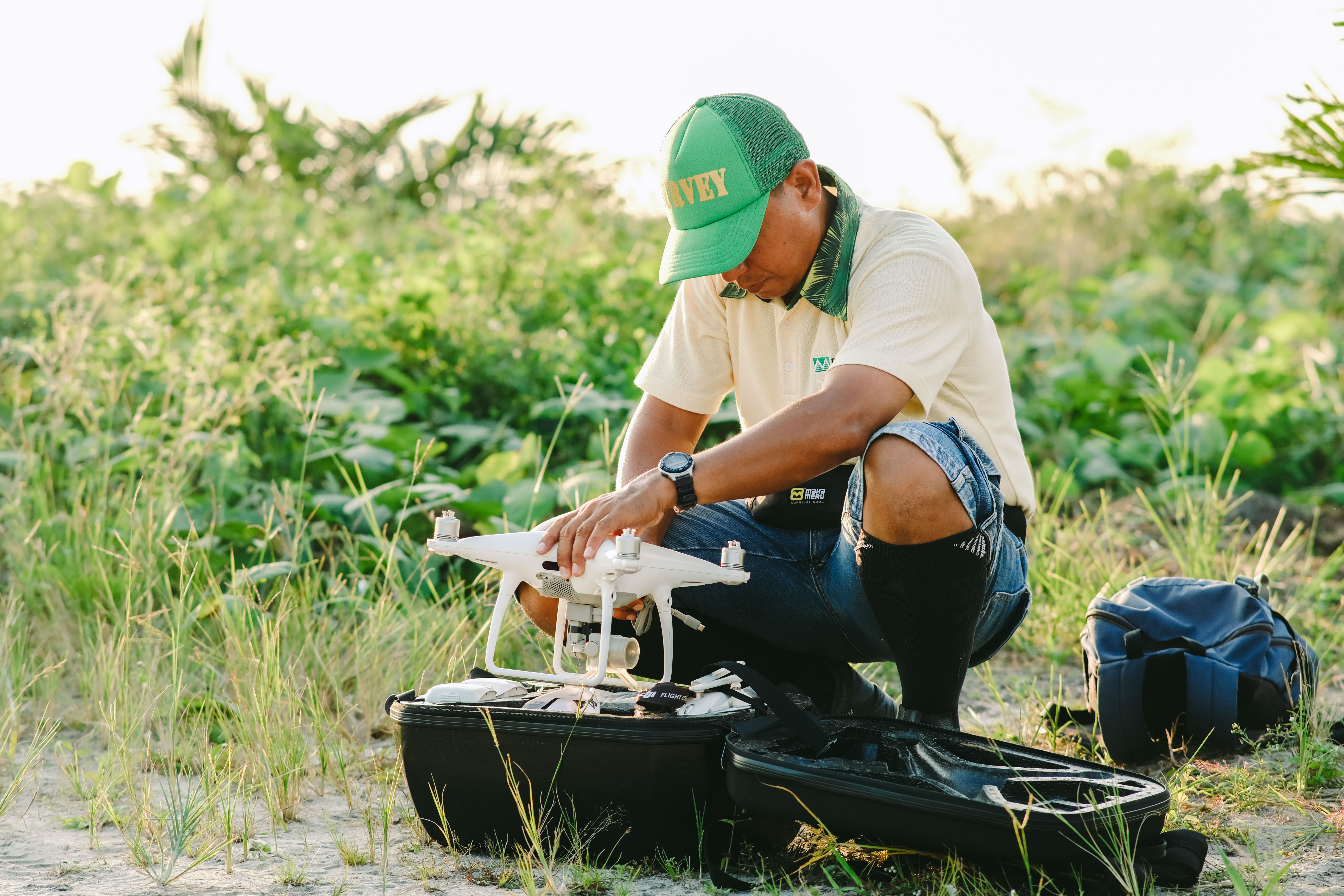 Setting up the quadcopter drone.
 Preparing for the flight.
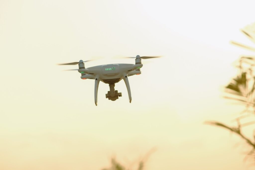 Flying the drone to remote areas.
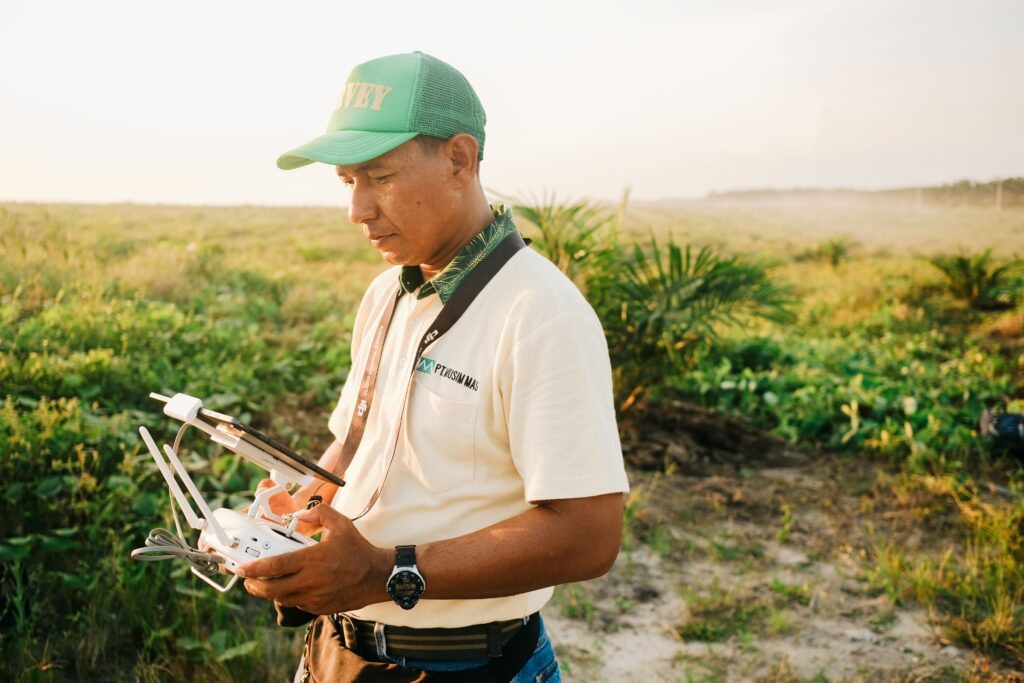
Watching the screen to assess the hotspot while controlling the drone.
Once the data is verified and confirmed, Teguh reports back to the Sustainability team, triggering follow-up actions. In cases where fires are detected, an alert is sent to the fire-fighting team, ensuring swift investigation and extinguishment.
Beyond his GIS and survey work, Teguh also takes on the role of a supervisor for construction projects related to plantation infrastructure. His responsibilities showcase the diverse and impactful nature of his position, proving that Teguh is more than just a specialist in his field.
Adapting and Overcoming Challenges
The move from the city to the plantation was no simple transition. Teguh faced challenges that tested his adaptability. Limited access to city facilities, difficult terrains, and a lifestyle overhaul became his new norm. Yet, amidst the challenges, Teguh discovered the joys of plantation life – the crisp, clean air, a calmer pace, and meaningful connections with fellow workers and the community.
Cultivating Discipline and Responsibility
Initially overwhelmed and confused, Teguh’s perseverance led to a seamless integration into his new environment. He found more than just a job; he unearthed a profound sense of discipline and responsibility, bringing about a feeling of accomplishment and belonging.
In the eyes of Teguh, this journey was more than just a relocation; it was an opportunity for personal and professional growth. His motivation to work in the GIS & Survey team on the plantation stems from a belief in supporting sustainable practices.
Thriving in a Supportive Environment
Teguh recalls that Musim Mas played a pivotal role in smoothing his transition. Continuous training opportunities for him and his team advanced their GIS knowledge, ensuring they stayed at the forefront of their field. Teguh emphasizes the importance of having a competent and committed team, saying, “It’s important to have a team capable of facing every challenge that arises and completing the work well.”
In Teguh’s own words, “Moving from the city to a plantation can bring a variety of emotions, situations, insights, experiences, challenges, and achievements. By working in the plantation sector, I have the opportunity to advance my career and earn a better income compared to working in the city.”
Teguh’s story is an inspiration for those contemplating similar transitions. It speaks of embracing change, coupling it with passion and expertise, and reaping the rewards of a fulfilling and purposeful career.